Accessbillity Guide
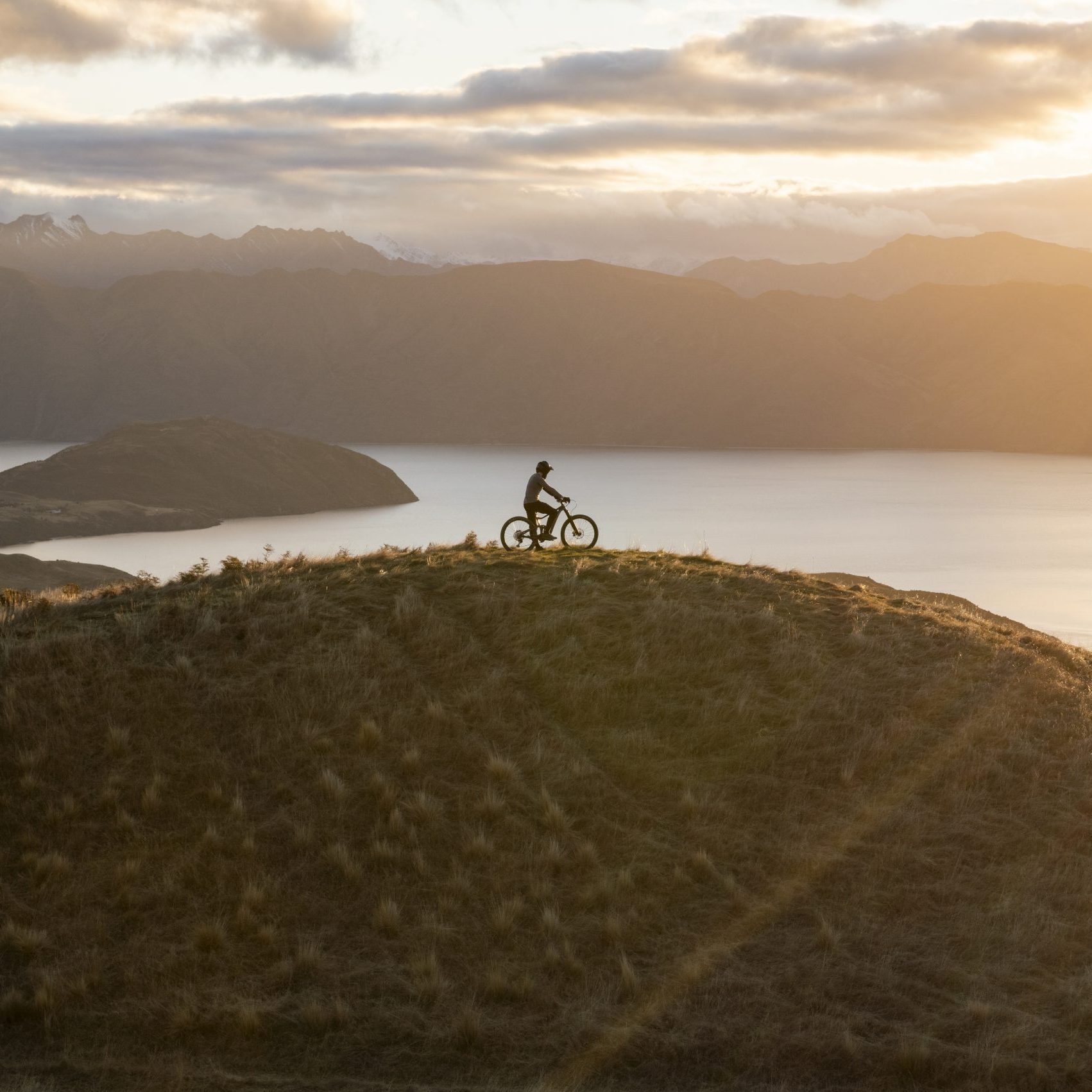
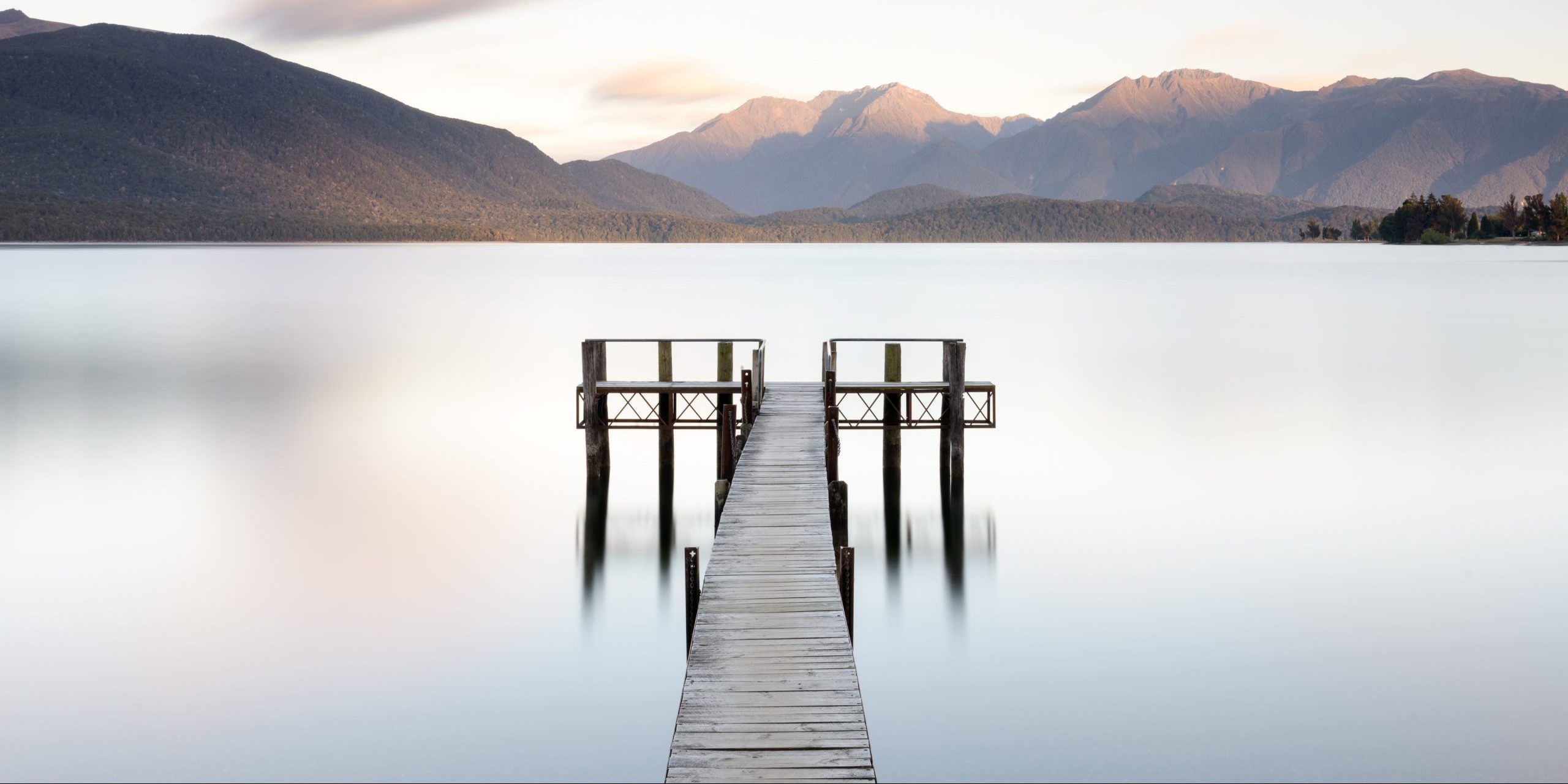
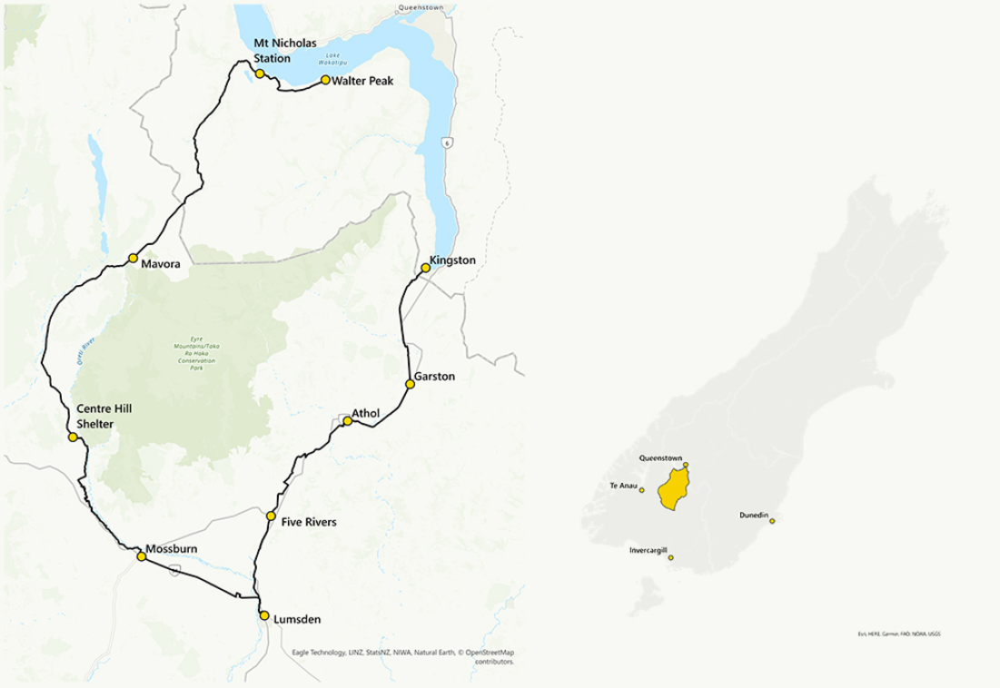
The Around the Mountains Cycle Trail is a breathtaking 186 km loop that weaves through some of New Zealand’s most scenic landscapes—from Lake Wakatipu to the rural heart of Southland. This accessibility guide aims to help all riders, including those with adaptive bikes, chairs or towing buggies with children, enjoy this trail safely and comfortably.
If you are considering riding the trail and would like more detailed advice, or if you’ve ridden the trail with any form of physical disability and would like to share your experience, please email the Around the Mountains Cycle Trail on: info@aroundthemountains.co.nz
Anything to add? We would love to hear from you.Trail Overview
- Total Length: 186 km (multi-day ride)
- Difficulty: Grade 2–3 (easy to intermediate)
- Surface: Compacted gravel on the Cycle Trail and gravel roads
- Suitable For:
- Adaptive cycles (handcycles, trikes, e-trikes)
- Sighted guides for visually impaired riders
- Supported e-bike users
- Towing buggies with children
Trail Sections & Accessibility Tips
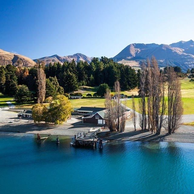
Section 1: Walter Peak to Mavora Lakes – 50km
- Trail Grade: 3
- Surface: Gravel road with limited farm traffic
-
Accessibility:
- Remote section, not recommended for solo or unassisted riders
- Two river crossings, please check river flow and riding conditions before travel
- The gradient is relatively flat with the exception of the 2.5km Von Hill climb
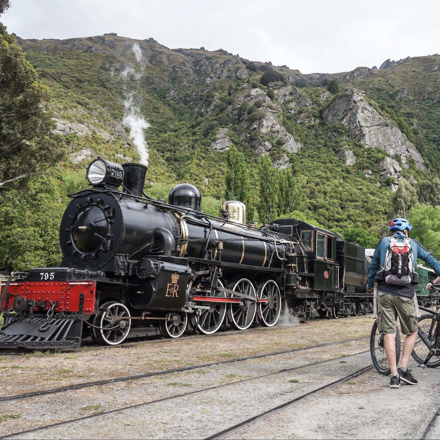
- The TSS Earnslaw (vintage steamship) and the Spirit of Queenstown (motorized catamaran) which transports cyclists to Walter Peak, are wheelchair accessible but do not have accessible toilets.
- There are accessible toilet facilities available at Walter Peak.
- Between Walter Peak and Mavora Lakes, toilets and shelters are located at 10km intervals along this section. The toilets are not accessible, they are single norski outdoor toilets, remember to take your toilet paper.
- Places to camp are Walter Peak and Mavora Lakes, nowhere in between, be mindful of this if traveling with small children
-
Tips:
- Book TSS Earnslaw ferry from Walter Peak to Queenstown
- Limited access: arrange logistics in advance
- Limited facilities – carry food, water, tools
- Shared road sections: use high-vis clothing and flags, keep left
- Consider shuttle support or guided tours
- Consider support vehicle access as there are two fords to cross
- Remote, alpine environment with limited mobile phone coverage, recommend taking a personal beacon
Section 2: Mavora Lakes to Centre Hill Shelter – 29 km
- Trail Grade: 3
- Surface: Gravel road
-
Accessibility:
- Centre Hill Road is open to traffic, and this segment can have loose gravel and be dusty.
- There is the option of booking a shuttle bus for this leg of the trail but must be organised in advance.
- Toilets and shelter is available at Mavora Lakes and Centre Hill Shelter
- The toilets are not accessible, they are single norski outdoor toilets, remember to take your toilet paper.
-
Tips:
- Consider shuttle support or guided tours
- Shared road sections: use high-vis clothing and flags, keep left
- Limited facilities – carry food, water, tools
- Limited mobile phone coverage, recommend taking a personal beacon
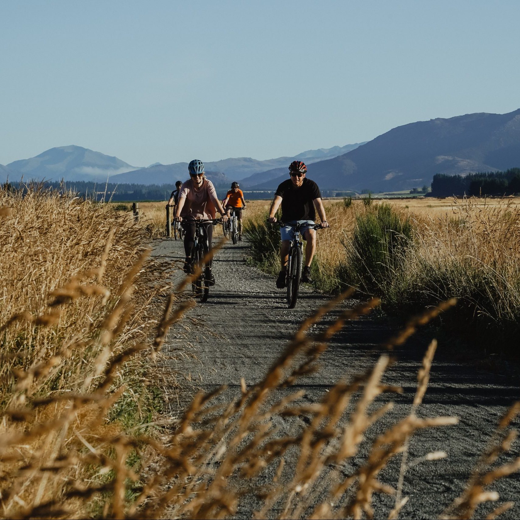
Section 3: Centre Hill Shelter to Mossburn – 24km
- Trail Grade: 2
- Surface: Compacted gravel, dedicated cycle trail
-
Accessibility:
-
This section alongside the Ōreti River is a peaceful rural setting on the smooth and pleasant curving alignment of the
Cycle Trail. - Mostly flat and quiet
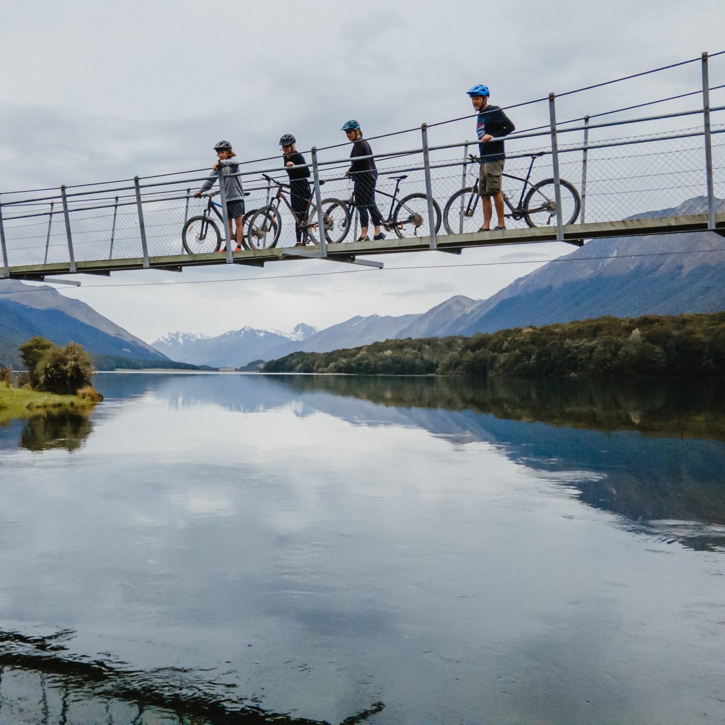
- Bridges and cattle stops to cross at 1.2m wide
-
This section alongside the Ōreti River is a peaceful rural setting on the smooth and pleasant curving alignment of the
-
Tips:
- Mossburn offers cafés and accessible accommodation
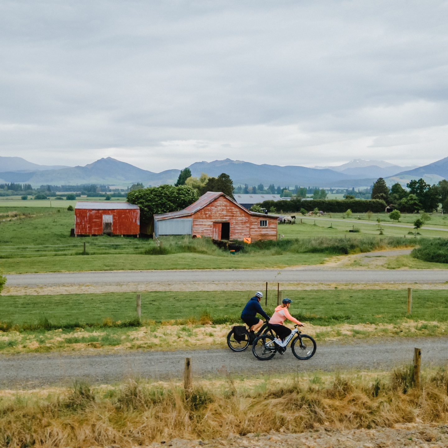
Section 4: Mossburn to Lumsden (20 km)
- Trail Grade: 2
- Surface: Compacted gravel, dedicated cycle trail
-
Accessibility:
- A smooth, fairly straight section of trail
-
Tips:
- Watch out for the lamp posts near Mossburn
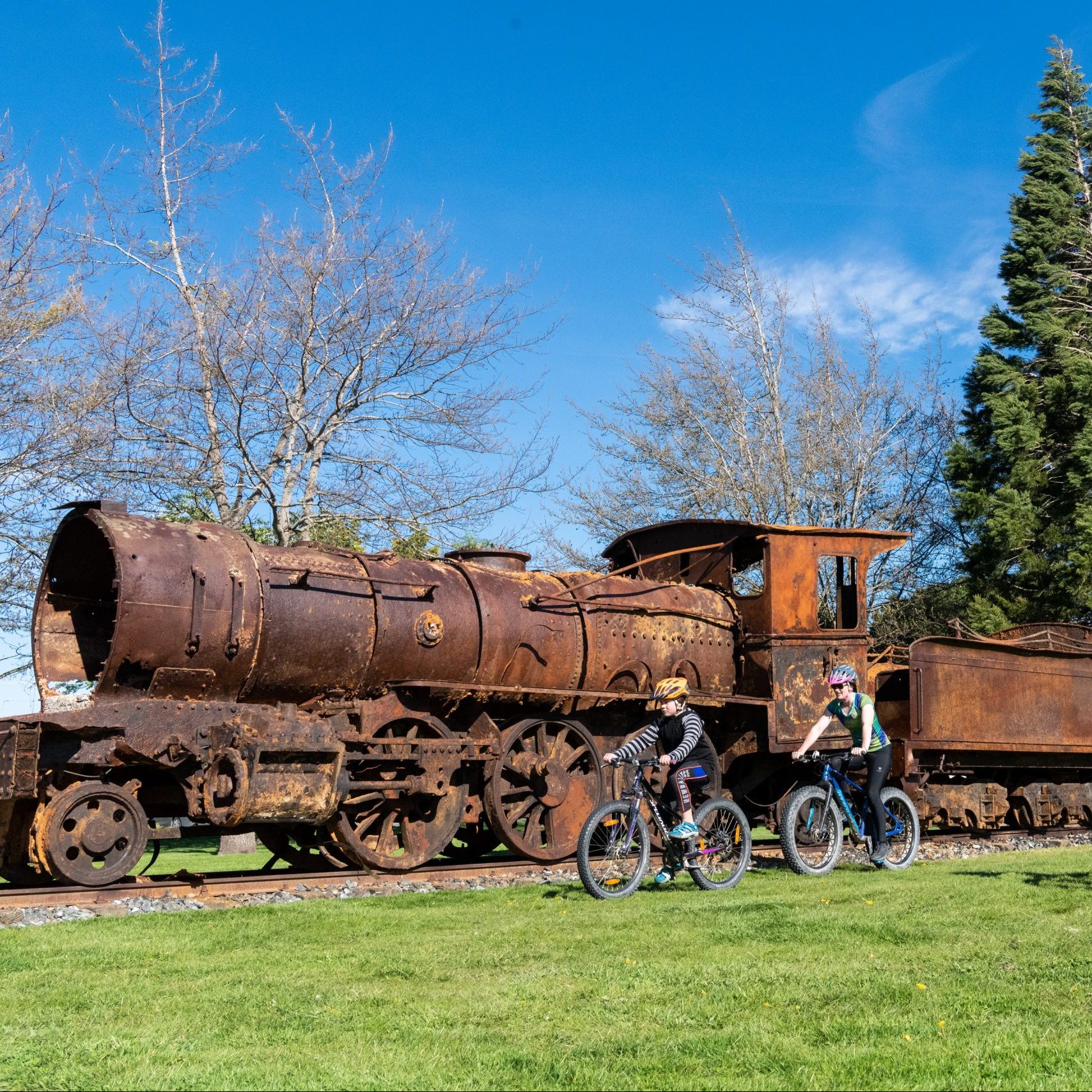
Section 5: Lumsden to Athol – 33km
- Trail Grade: 2
- Surface: Compacted gravel, dedicated cycle trail
-
Accessibility:
- Follow old railway lines and rural farmland
- There are some bridges and cattle stops to cross between 1.1m – 1.2m wide
-
There are a number of gates between Bixter Rd and Nokomai Rd, these are mostly latched open, however some on the boundaries
are to be kept closed to keep livestock secure.
-
Tips:
- Lumsden has accessible toilets and parking
- Café at Five Rivers is a good place to stop and refresh
- Parking available at Five Rivers
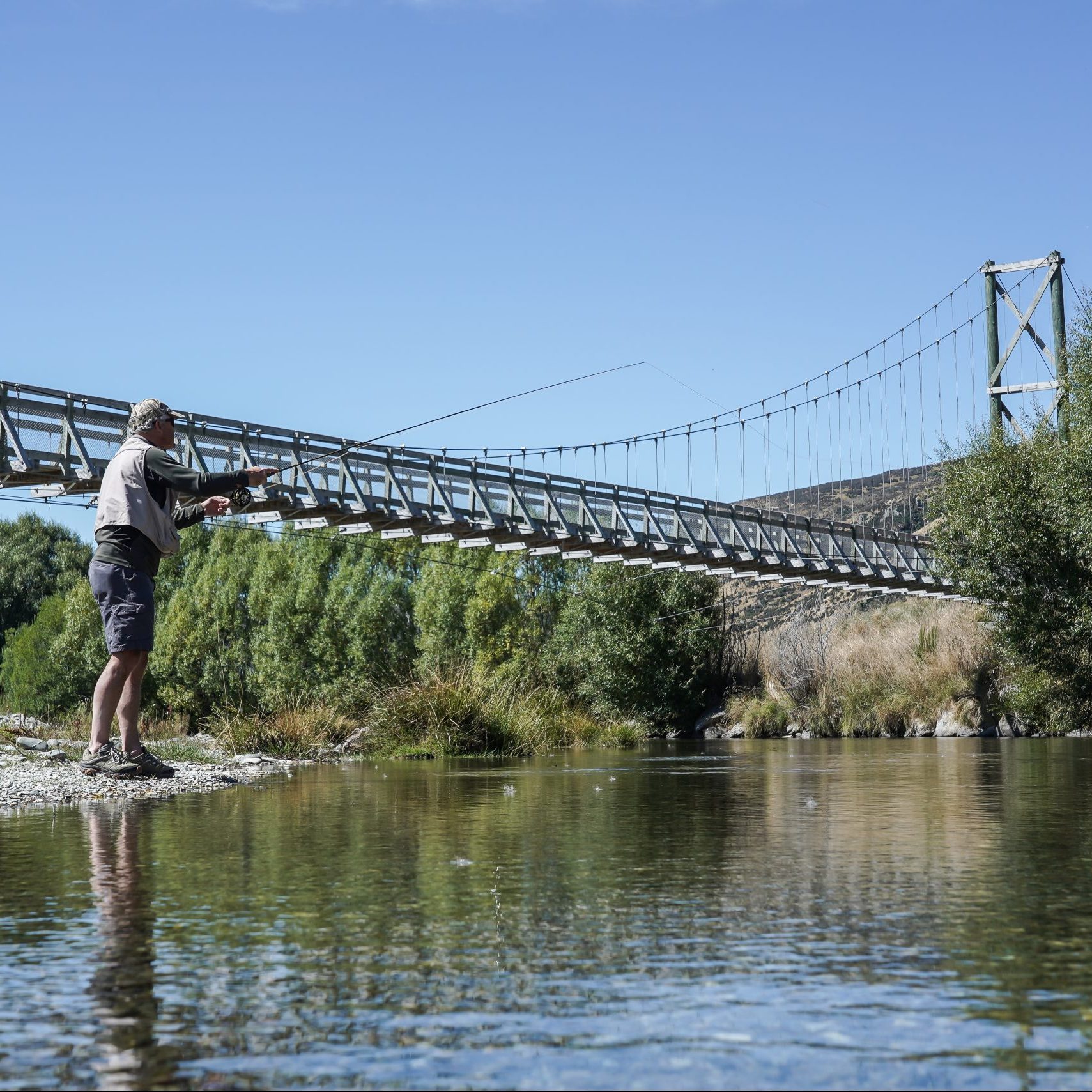
Section 6: Athol to Kingston – 30km
- Trail Grade: 2
- Surface: Compacted gravel, dedicated cycle trail with short on-road sections
-
Accessibility:
-
Three suspension bridges take you across the Mataura River. Two near Athol and
one at Fairlight - There are some cattle stops to cross at 1.2m wide
- Mainly off road, with a couple of short sections of farm gravel roads
- Switch backs near Kingston
-
Three suspension bridges take you across the Mataura River. Two near Athol and
-
Tips:
- Shared road sections: use high-vis clothing and flags, keep left
- Food and rest area available in Garston and Kingston with parking
4. Equipment Recommendations
- Adaptive Cycles: Handcycles, recumbent trikes, or e-assist trikes with wide tires for gravel
- E-Bikes: Allowed and encouraged for riders with stamina or mobility issues
-
Safety Gear:
- Mirrors and high-visibility flags for road sections
- GPS or trail maps with offline access
- Helmet, gloves, sun protection
5. Accessible Services & Amenities
| Location | Accessible Toilets | Accommodation | Food/Drink |
|---|---|---|---|
| Walter Peak |
Camping only |
||
| Mavora Lakes |
Norski Toilet |
Camping only |
|
| Centre Hill Shelter |
Norski Toilet |
||
| Mossburn | |||
| Lumsden | |||
| Garston | |||
| Kingston |
Planning and Support
Transport & Shuttles
- Book in advance with local operators who cater to mobility needs.
Trail Support
- Consider hiring a support rider or guide
- Emergency locator beacons are recommended in remote areas
Safety Considerations
- Always let someone know your route and expected arrival times.
- Carry a basic repair kit and medical supplies.
- Weather changes quickly—pack appropriate layers.
Trail Etiquette
- Yield to walkers and slower cyclists.
- Stay left on shared paths and rural roads.
- Respect livestock and farm gates.
Emergency Contacts
- Emergency Services (NZ): 111
- Trail Support: Local bike shops in Queenstown, Lumsden
- Trail Website: www.aroundthemountains.co.nz
Recommended Day Rides
- Kingston to Garston (return) – 36km – Grade 2
- Centre Hill Shelter to Mossburn – 24km – Grade 2
- Lumsden to Five Rivers (return) – 28km – Grade 2
Final Tips
- Break the trail into short, manageable sections
- Travel with a companion if you’re new to accessible trail riding
- Check weather, trail conditions, and ferry bookings ahead of time
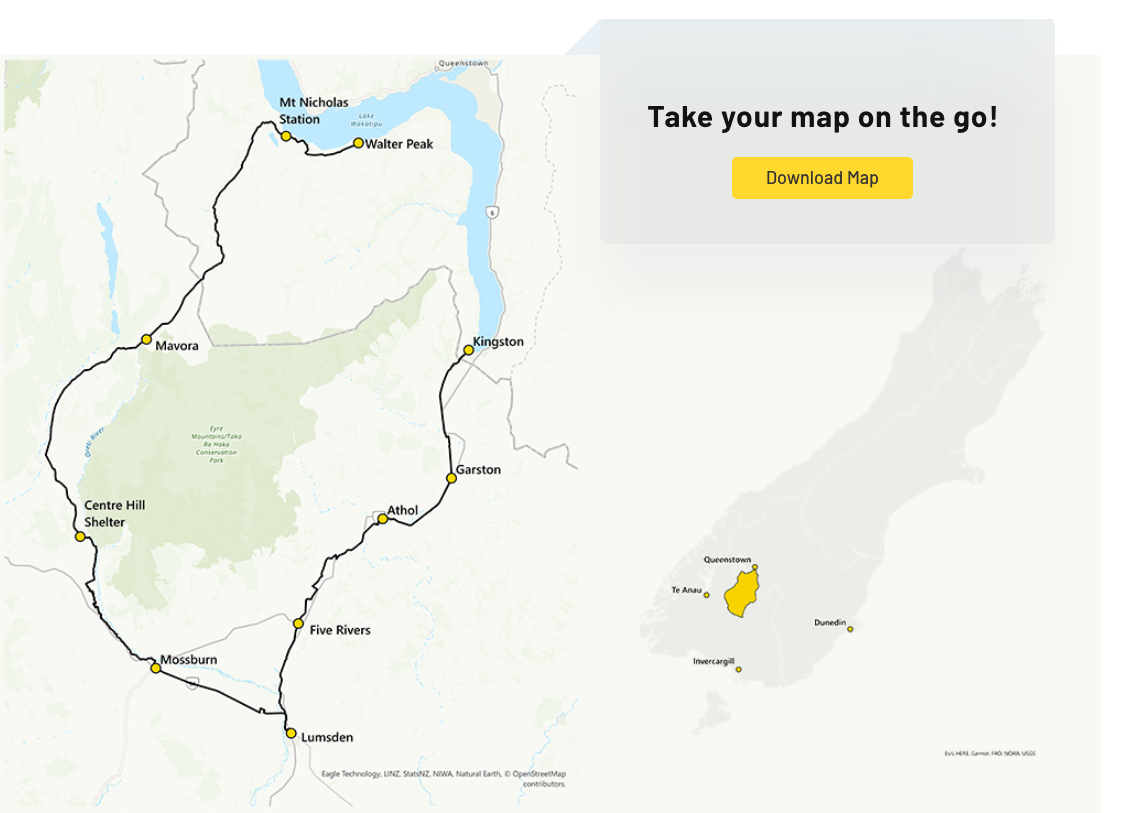
Take your map on the go
Download MapDiscover your next adventure…
Embark on an unforgettable adventure in the picturesque wilderness of southern New Zealand with the Around the Mountains Cycle Trail! This unique trail takes you from the bustling energy of Queenstown to serene agricultural landscapes of Southland, showcasing a range of contrasts.
Cyclists of all levels will be thrilled with the diverse experience offered on this 186km trail, which can be tackled in either direction, starting from Kingston or Walter Peak. Take your time and enjoy the journey at a leisurely pace, it’s an easy trail to conquer!